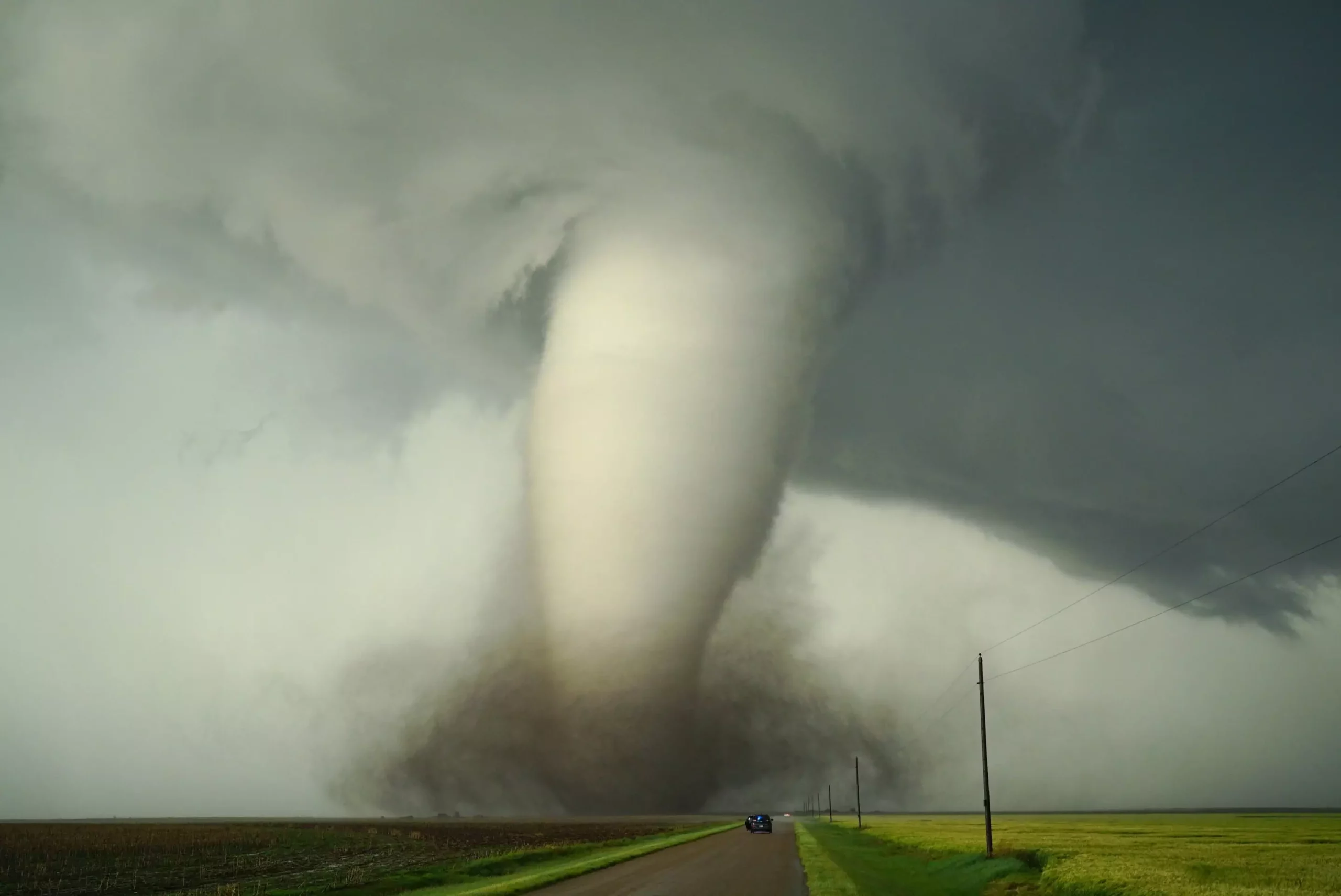
When summer arrives in the Midwest, storm-chasing becomes a popular pastime for many residents and enthusiasts alike. Yet, beneath this fascination lies a complex web of atmospheric science that seeks to uncover the very nature of these destructive phenomena. At the forefront of this pursuit is an often-overlooked researcher who approaches tornadoes with a blend of curiosity and meticulous analysis. Daniel Chavas, an atmospheric scientist, refuses to chase storms physically but instead immerses himself in the virtual realm, exploring the deep-rooted causes behind where and why tornadoes happen. His work pushes the boundaries of traditional meteorology by integrating climate science and computer modeling to decode the intricate dance of factors that generate these violent storms.
Chavas’s methodical approach stands in stark contrast to the traditional storm chaser’s adrenaline-driven pursuits. Instead of racing across fields or mountains in pursuit of the next big funnel, he harnesses vast historical data and sophisticated computer simulations. His goal? To ask fundamental questions like, “Why do some regions experience frequent, intensely destructive tornado activity while others do not?” His research goes beyond immediate weather patterns, delving into the broader climate systems that establish the perfect ingredients for severe storms. This long-term perspective aims to reveal the underlying physics that shape the severe weather landscape, providing insights that could redefine our understanding of storm formation and frequency.
Breaking Old Assumptions with Modern Technology
Decades ago, meteorologists believed that geographic features like the Gulf of Mexico and the Rocky Mountains played pivotal roles in tornado genesis. The Gulf, with its warm, moist air, was thought to be indispensable for fueling North American storms. The Rockies, by impacting airflow and weather patterns, were also seen as critical players in the region’s storm activity. These ideas persisted for years, primarily because technological limitations prevented rigorous testing. Computer models, then in their infancy, lacked the power to simulate global weather systems with the necessary resolution.
Today, however, Chavas and his team leverage cutting-edge climate models with unprecedented resolution. Through these tools, they perform hypothetical experiments—virtually altering the landscape and climate— to test long-standing hypotheses. For example, in one study, they “filled in” the Gulf of Mexico with land to examine how its absence would influence storm activity. The findings challenged prevailing wisdom: removing the Gulf did not drastically diminish severe thunderstorms, nor did it dramatically shunt tornado activity away from Texas. Instead, storms shifted eastward into Illinois, highlighting the subtle yet significant influence of local geographic and atmospheric dynamics.
Such experiments underscore the importance of revisiting traditional assumptions with modern technology. They reveal that complex interactions among temperature, moisture, wind speed, and atmospheric shear are shaped by a multitude of factors, many of which are not solely dependent on the presence of warm Gulf waters. This nuanced understanding shifts the focus from singular geographic features to broader climate and land surface properties that collectively orchestrate severe weather.
Surface Roughness, Land Features, and the Secret Shield Against Tornadoes
A particularly revealing aspect of Chavas’s research involves comparing tornado activity between North America and South America—two continents with similar climates but vastly different tornado frequencies. By analyzing the impact of terrain and land surface textures, his team discovered that the “roughness” of the land surface plays a crucial role in regulating tornado potential.
East of the Andes, the rugged terrain composed of forests, hills, and dense vegetation creates an environment that dampens the wind shear necessary for tornado formation. Conversely, the relatively smooth and expansive Gulf of Mexico, along with the flat plains of North America, fosters conditions conducive to the development of tornadoes. When the team simulated removing the surface roughness of South America, tornado potential skyrocketed, reinforcing the idea that forests and terrain can act as natural buffers against severe storms.
This insight challenges the common narrative that weather is solely driven by atmospheric conditions. Instead, it places significant emphasis on the land surface and land use—elements often overlooked in weather prediction but vital in understanding the spatial distribution of tornadoes. If forests and natural landscapes can inhibit tornado formation, then the ongoing deforestation and land development may inadvertently influence storm patterns, potentially escalating or diminishing tornado risks depending on how the landscape evolves.
The Implications of Climate Change on Tornado Patterns
Chavas’s exploration of landform influences naturally leads to urgent questions about climate change and land use alterations. As global temperatures rise, climate models forecast increased droughts in some regions and heightened humidity in others. These shifts could drastically change the atmospheric ingredients necessary for tornado formation. For example, if the jet stream— the river of high-altitude winds that influences weather patterns—begins to shift due to warming, it might redirect moist, warm air flows from the Gulf of Mexico to previously unaffected regions.
The possibility that climate change could modify wind shear, moisture distribution, or surface roughness fundamentally alters our expectations about future tornado activity. Areas that were historically at low risk might see an increase in severe storms, while traditional hotspots could experience a decline if land use or atmospheric conditions change sufficiently.
Furthermore, land use policies and reforestation efforts could have unintended consequences. If forests and natural terrains indeed act as barriers to tornadoes, then forest regrowth in vulnerable areas might serve as a natural mitigation strategy. Conversely, urbanization and deforestation could exacerbate tornado risks, transforming landscapes into more favorable conditions for storm development.
Chavas’s work underscores a critical reality: understanding the influence of climate and land features on severe weather is indispensable if humanity wishes to proactively address the growing threats posed by storm violence. Accurate prediction and perhaps even management of tornado risks depend on nuanced, systems-based approaches that take into account not just atmospheric variables but also the land and climate interactions that set the stage for these powerful natural events.
Leave a Reply