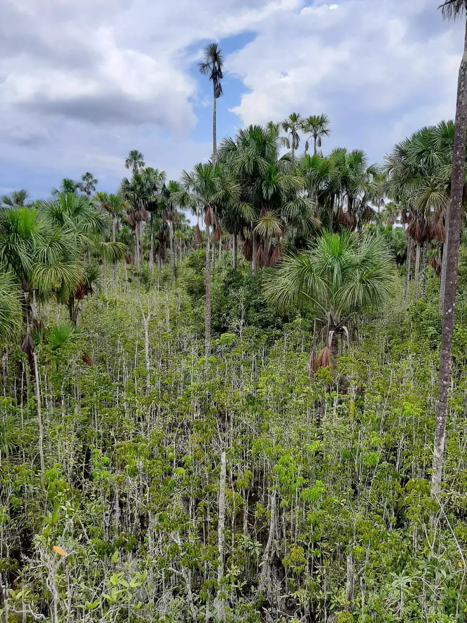
A recent study led by researchers from the University of St Andrews and Charles University has revealed new insights into the extent of peatlands in the Amazon basin. The groundbreaking research, published in Environmental Research Letters, highlights the significant role of peatlands in storing carbon and regulating the global climate. The findings from the study emphasize the need for improved understanding of peatland distribution in order to develop effective strategies for conservation and sustainable management.
The research team, led by Dr. Adam Hastie from Charles University, compiled data from over 2,400 ground reference points across the Amazon basin. This data, along with satellite imagery and other environmental information, was used to create a high-resolution map of peatland extent in the region. The new map estimates that peatlands cover approximately 251,000 square kilometers of the Amazon basin, surpassing previous estimations and highlighting the need for more comprehensive data collection efforts.
Peatlands are waterlogged landscapes that accumulate carbon-rich plant matter over thousands of years. They play a crucial role in mitigating climate change by storing vast amounts of carbon and regulating the global climate. The new map of peatlands in the Amazon basin reveals a far greater extent than previously documented, underscoring the importance of protecting these ecosystems from the threats of climate change, deforestation, and drainage for agriculture.
Dr. Ethan Householder from the Karlsruher Institut für Technologie emphasizes the importance of using the new peatland map to strengthen relationships with local communities and prevent irreversible damage to healthy peatlands. Dr. Eurídice Honorio Coronado suggests that policymakers and researchers can use the map to develop and implement policies and strategies for conserving peatlands and avoiding the release of stored CO2 into the atmosphere. The new map provides opportunities for early career researchers and international collaborations to implement new technologies for peat detection and conservation efforts.
The study on peatland distribution in the Amazon basin underscores the critical need for field data collection to improve our understanding of these vital ecosystems. The new map developed by the research team will guide future research and conservation efforts in the region, enabling policymakers and researchers to develop effective strategies for protecting peatlands and mitigating the impacts of climate change. This knowledge is essential for safeguarding the Amazon’s biodiversity and ecological processes that rely on healthy peatland ecosystems.


Leave a Reply